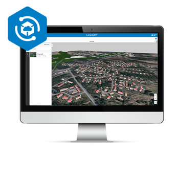
| Excellent browsing experience using intuitive measurement and annotation tools |
| 3D, panorama and map views with split-screen functionality |
| Simple access to web-based 3D data for more accurate and productive work |
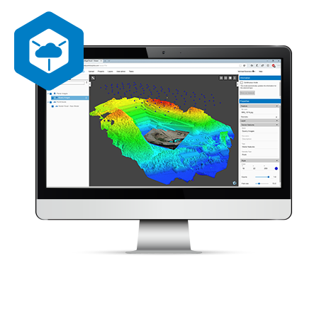
| Ultra-fast, web-based, point-cloud and mesh visualization |