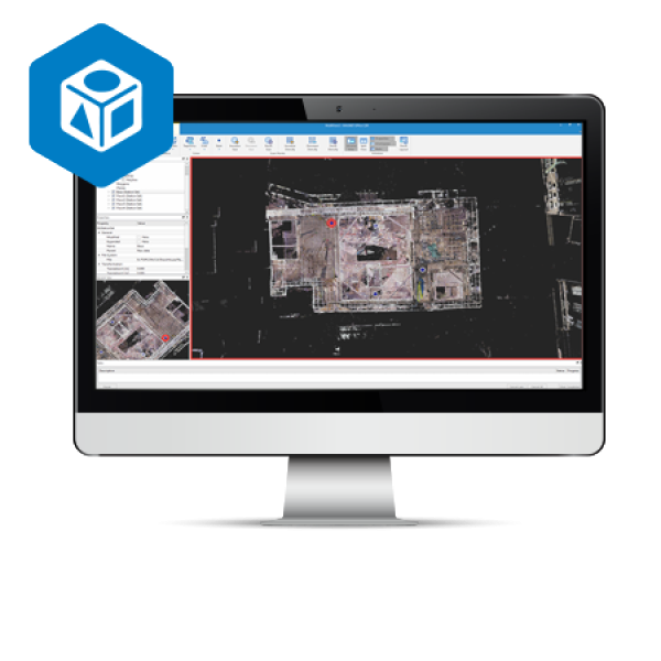
| Faster point-cloud processing and reality capture data handling |
| Extensive projections and geoid exports |
| Combine mobile and static scan data into one immersive 3D environment |
| Advanced matching and ground-control functionality for a variety of sensors |

Your session will expire in . If you want to reset this timer, please click OK.